A stalled car on SR-56 near the I-15 stack has almost nowhere to go. Rancho Peñasquitos sits right at that interchange, and the streets behind it climb into canyon terrain that changes what kind of tow truck can even reach a driveway.
The interchange that shapes most local calls
The I-15/SR-56 interchange is the geographic center of PQ, and it’s also where a disproportionate share of the calls from this area originate. SR-56 connects I-5 on the coast to I-15 through Peñasquitos, and the stack where it meets I-15 carries heavy commuter volume through Carmel Mountain Road and Rancho Peñasquitos Boulevard traffic every morning and evening. A car that overheats or drops a belt on that stretch is exposed: multiple merging lanes, elevated ramp sections, and drivers unfamiliar with the interchange geometry even on a normal day.
SR-56 itself is a newer freeway with a narrower shoulder profile than I-15 in several segments, especially through the cut where it passes below Carmel Mountain Road. A breakdown there leaves less room between a stopped car and moving traffic than a driver expects from a freeway shoulder. California Vehicle Code’s move-over rule requires approaching traffic to change lanes or slow down for a stopped vehicle with hazards on, but a narrow shoulder means less margin if a driver doesn’t.
Canyon streets and the access problem
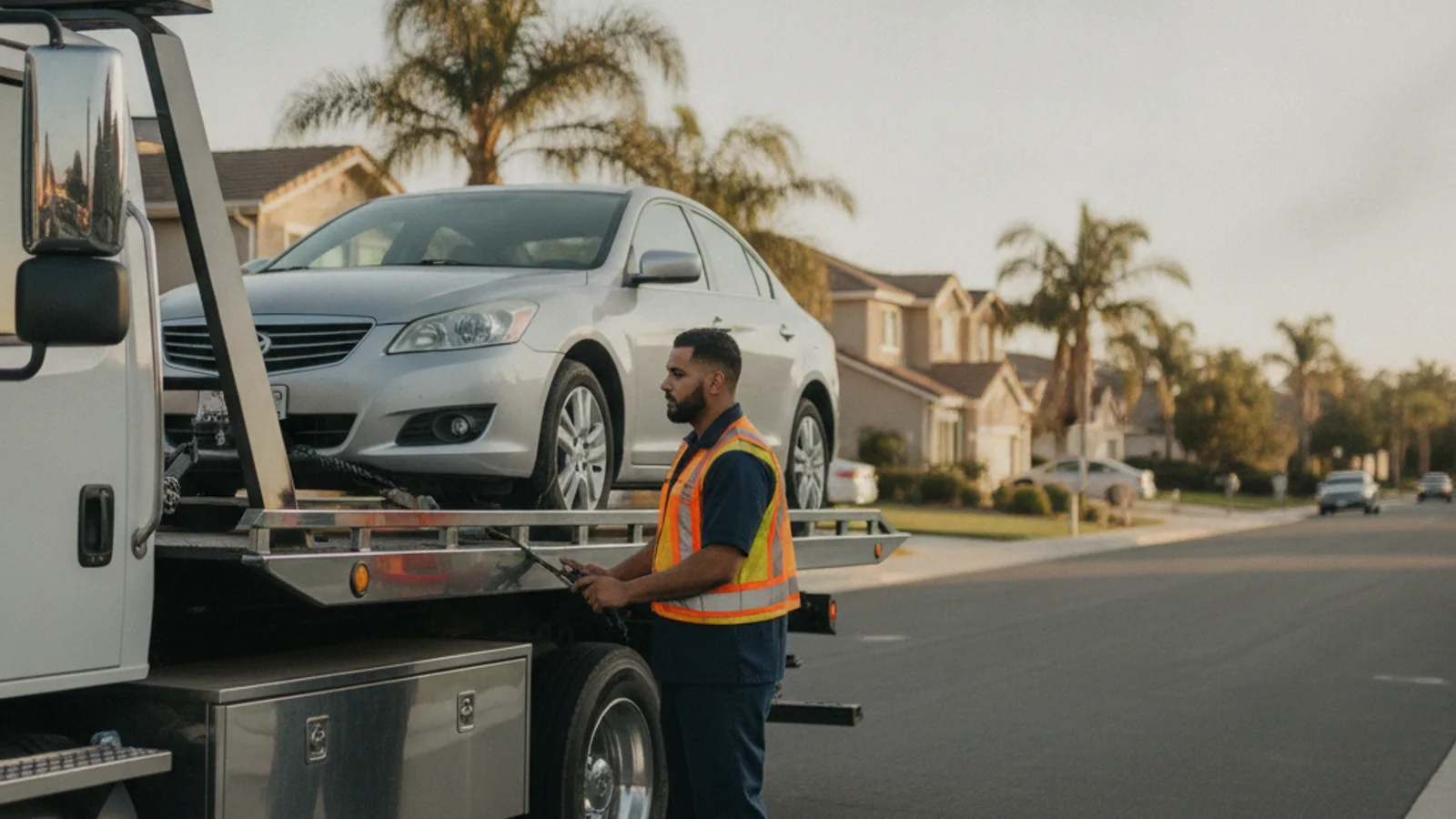
Peñasquitos is built into canyon topography, not flat grid streets, and that shapes what a tow truck can actually do once it reaches a house. Streets that wind along the rim of Los Peñasquitos Canyon, particularly the residential loops off Black Mountain Road, narrow quickly and curve tighter than a standard suburban block. A long car-carrier trailer or a full-size flatbed can struggle to turn into some of these driveways or execute a three-point turn on a dead-end canyon-rim street.
That’s part of why wheel-lift towing is the more practical call for a lot of PQ residential jobs: it needs less clearance to maneuver than a flatbed and can back into a tighter cul-de-sac without the same turning radius. Black Mountain’s terrain also means some homes sit on sloped lots, which changes how a vehicle gets approached if it’s parked nose-down toward a canyon-facing yard.
The grades on Twin Trails and Park Village
Twin Trails Drive and Park Village Road both carry long, steady climbs as they rise away from the canyon floor toward the mesa-top neighborhoods, and those grades are hard on aging brakes, transmissions, and cooling systems, especially in a family SUV doing the school and errand run every day. A car that’s been running hot or slipping in gear on flatter streets tends to finally give out on one of these climbs, where a driver now has to manage a disabled vehicle on a grade instead of level ground.
A vehicle that stalls mid-grade on Twin Trails or Park Village needs to be secured before anything else happens, since a car in neutral on a slope can roll. Our guide on what to do if a car breaks down on the freeway covers the general safety steps, and the same logic about hazards, parking brake, and getting clear of the vehicle applies on a steep residential grade, not just a freeway shoulder.
Carmel Mountain Road and the commercial corridor
Carmel Mountain Road runs east-west through the heart of PQ’s commercial district, crossing I-15 and linking the neighborhood to the Carmel Mountain Ranch shopping area just south. Traffic here is dense with strip-mall parking lots, drive-through lanes, and a steady stream of drivers cutting between the freeway and Rancho Peñasquitos Boulevard. Dead battery and lockout calls cluster around this corridor because it’s where people run errands, and a car left with the lights on while someone ducks into a store for ten minutes is a common way an afternoon turns into a jump-start call.
The intersection where Carmel Mountain Road meets Rancho Peñasquitos Boulevard also sees its share of fender benders during the evening commute, since both roads carry heavy through-traffic converging near the freeway ramps. A car that’s driveable but damaged after a minor collision here often still needs accident recovery rather than a simple tow, especially if a wheel is bent or fluid is leaking.
Black Mountain and the topography that shapes access
Black Mountain itself, the open space preserve that anchors the northern edge of the neighborhood, isn’t just scenery. It’s the reason PQ’s street grid bends and climbs the way it does instead of running in a flat rectangular pattern like neighborhoods closer to the coast. Streets that skirt the mountain’s lower slopes often end in a single access point, which means a stuck or disabled vehicle on one of those streets can temporarily block the only way in or out for several houses.
That single-access layout is worth knowing before a tow truck arrives, because it changes how the operator stages the truck. A wheel-lift rig backed in the wrong direction on a narrow canyon-adjacent street can end up needing to be repositioned, which costs time nobody wants to spend on a hot afternoon waiting for a ride.
Trailhead lot risk at the canyon preserve
Los Peñasquitos Canyon Preserve draws steady weekend traffic to its trailhead lots, and those lots see a different kind of tow call than the residential streets above them. Unpaved or loosely graded lot surfaces mean a car can get stuck in soft dirt after rain, and a battery left running for a phone charger during a long hike is a common source of dead-battery calls when hikers get back to the car at dusk.
These lots also sit at the bottom of the canyon, away from the main road grid, which means a tow operator needs the address and the specific lot entrance clearly identified rather than just “the preserve.” A car abandoned or left overnight in a trailhead lot without a permit can also draw attention from park rangers, since these lots are managed differently from a standard street parking situation.
Why PQ isn’t interchangeable with its neighbors
Peñasquitos sits between Mira Mesa to the south and Rancho Bernardo to the north, and it’s tempting to lump all three together as generic North County Inland suburbs. They aren’t the same. Mira Mesa is flatter and denser, built on a mesa grid with fewer canyon-edge streets. Rancho Bernardo skews older with more retirement-community traffic. PQ’s identifying feature is the canyon itself, cutting through the middle of the community and forcing the street network, and every tow response in it, to work around that terrain rather than through it.
When to call us
A stalled car on the SR-56/I-15 stack, a vehicle that won’t restart after a hike at a canyon trailhead, or a car that gave out on a steep grade like Twin Trails all call for a professional operator rather than trying to nurse the car home yourself. Canyon-rim access and freeway shoulder exposure both raise the stakes of doing it alone.
Call (858) 923-5787 to reach dispatch.